Northwestern Indiana from 1800 to 1900A regional history written by Timothy H. Ball . . . .
Source Citation:
Ball, Timothy H. 1900.
Northwestern
Indiana from 1800 to 1900 or A View of Our Region Through the Nineteenth Century.
Chicago, Illinois: Donohue and Henneberry. 570 p.
NORTHWESTERN INDIANA FROM 1800 TO 1900
117
CHAPTER VIII.
LAKE MICHIGAN WATER SHED.
As we leave the lakes and streams,
the natural and artificial water courses, it may be a matter of interest to
some, in another generation, to have the dividing line between Lake Michigan
waters and Mississippi River waters traced with some degree of definiteness, for
the drying up of water courses and the draining by means of ditches have already
almost consigned to oblivion the names and the winding beds of some of the small
streams that were well known to the Illinois and Indiana pioneers. This line
will not be given as though taken from a
surveyor's field notes, yet it will be sufficiently accurate for the purpose for
which it is here inserted.
The substance of it may be found in a published volume of the papers read before
the Indiana Academy of Science, but this is not
taken from that volume.
This line, commencing at the head waters of the Des Plaines River in Wisconsin,
a few miles from the shore of Lake Michigan,
passes southward, winding slighthly, passing within eight miles of Lake
Michigan, and then, just west of Chicago, passes by the south arm of the
peculiar Chicago River, and going still southward passes west of Blue Island
eight miles west of the Indiana State line. It
then passes southwest around the head waters of Rock Creek, and
118
then southeastward around Thorn Creek, which is its most southern point in
Illinois and is near Eagle Lake, two miles west of the
Indiana line and directly west of the Lake County village of Brunswick
and twenty-three miles south of the State line monument on the shore of Lake
Michigan. The line now passes northward and enters Lake County in section 36,
township 35, range 10, near the head waters of West Creek. It then bears
southeastward to a high ridge one-fourth of a mile north of Red Cedar Like, and
passes along a low, curving ridge, on which was once a wagon road, and which is
the most beautiful and well defined portion of the line in Lake County. It
passes now three miles over timber table-land, winding slightly, three miles
eastward and nearly two miles south of the center of Crown Point, it passes
across section 17, then 16, township 34, range 8, and then south on the east
side of the old Stoney Creek. It then passes east across sections 35 and 36 and
into section 31, where is now LeRoy. It here turns
northward, having reached its extreme southern limit in
Indiana, now not quite eighteen miles from
Lake Michigan. Winding here around the head of the south branch of Deep River,
passing between that and Eagle Creek, bearing eastward, south of Deer Creek, and
northward, it leaves Lake County almost due east of the center of Crown Point,
distant seven and a half miles and nearly a mile and a half south of its point
of entrance into the county. It soon passes north of a little lake
from which flows Eagle Creek. It now passes
eastward and then a little south, winding around Salt Creek, three miles and a
half south of Valparaiso between ranges 5 and 6, having crossed
119
section 12 in range 5. It passes, now, about due north just east of Valparaiso
to Flint Lake, three miles north of the center of that city and the source of
its water supply, and winding around the north of Flint Lake it passes on in a
northwest direction to Westville, and then passing northeastward to a ridge two
miles north of La Porte and eleven miles from Lake
Michigan, which ridge is said to be, according to some barometer, two hundred
and seventy feet above Lake Michigan. Passing north of the lakes around the city
of La Porte, and north of the head waters of the Little Kankakee, and near the
line of the railroad track, near by the village of Rolling Prairie, passing
eastward but a few miles from the north boundary
of Indiana, it comes into Portage Township, St.
Joseph County, where on the portage between the Kankakee and St. Joseph rivers
this notice of it will end.
Here seems to be a suitable place to notice those "lake ridges" which cross La
Porte, Porter, and Lake counties, "which are nearly parallel to the present lake
shore." According to Professor Cox they mark the ancient shore lines
from which, time after time, the lake has receded.
Five of these continuous sand ridges Professor Cox has counted. The last one
inward is that ridge along which now runs the watershed line, the highest ridge
of land in La Porte County. The theory of formation of these ridges is this:
That the sand which the dashing lake waves cast upon the beach, sparkling in
their apparent playfulness sometimes as they dance along, and then breaking in
their fury far up on the beach when the fierce north wind sends them rolling in,
in their might, this sand soon becomes dry. "Then the wind takes it and drives
it like drifting snow to the first
120
barrier of trees and bushes, when it is checked, and
begins to accumulate, forming a ridge. The vegetation, well rooted, reproduces
itself, growing to the top as the sand rises, and finally a range of hills is
the result of the combined action of wave and wind on the moving particles of
sand."
In this way, most probably, was that quite large ridge of sand formed at the
northeast of the Red Cedar Lake in Lake County, by the influence of the strong
southwest winds that so often prevail, and not, as some have imagined, by the
melting there of some great iceberg.
All the sand ridges in Lake County seem to be due to the action of water, or of
wind and water combined. Most of them lie north, but some are south, of the
watershed.
Professor Cox found no evidences that the lakes around La Porte were ever a part
of our Lake Michigan; but that its southern limit there was the high ridge
distant now eleven miles.
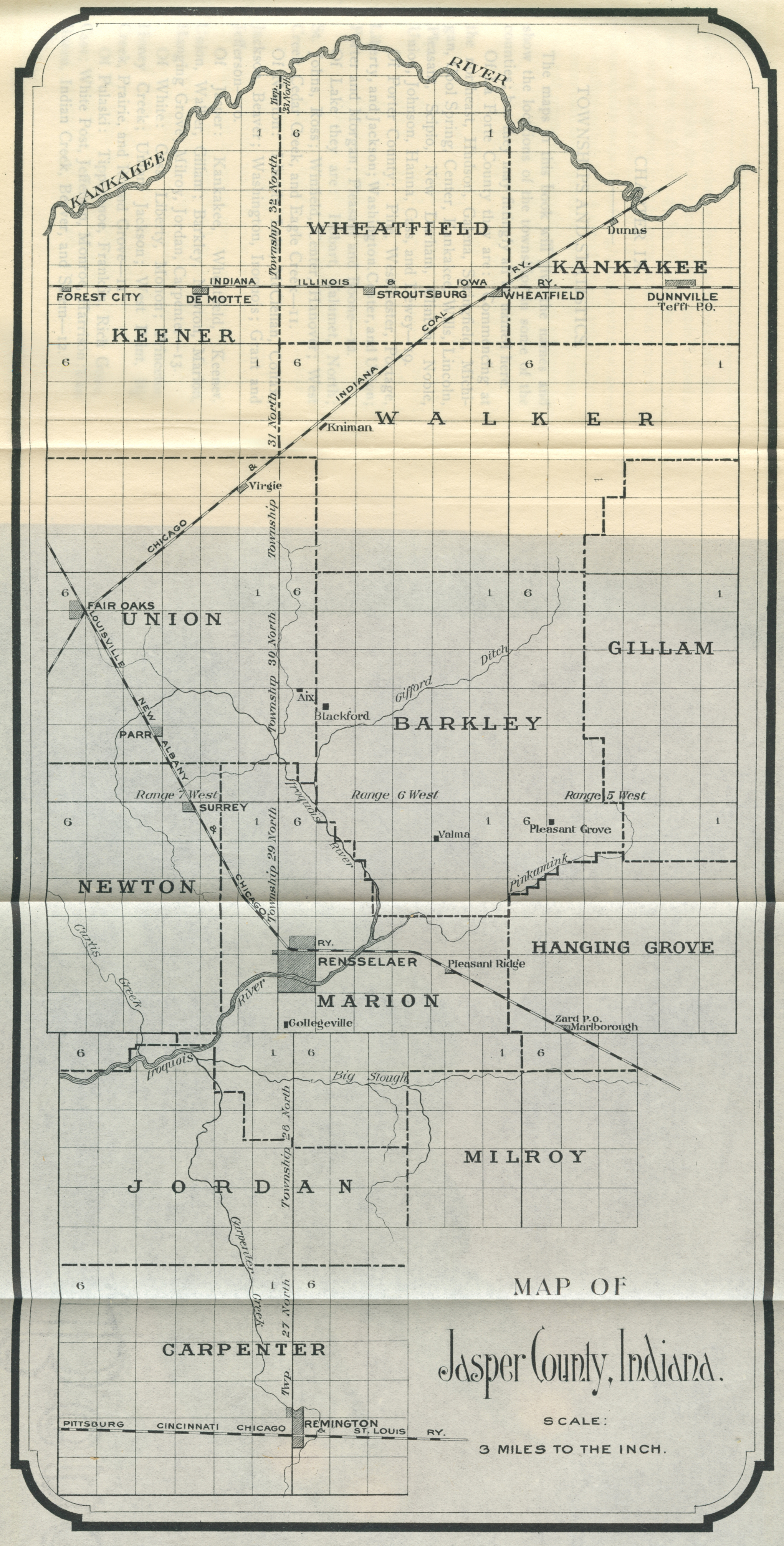
Map of Jasper County, Indiana
[Click Image to Enlarge]
NAVIGATION OF
NORTHWESTERN INDIANA FROM 1800 TO 1900
FRONT MATTER AND DEDICATION
CONTENTS
INTRODUCTION
CHAPTER 1
- GENERAL OUTLINES
CHAPTER 2
- THE INDIANS
CHAPTER 3
- THE EARLY SETTLERS
CHAPTER 4
- WHAT THE EARLY SETTLERS FOUND
CHAPTER 5
- PIONEER LIFE
CHAPTER 6
- COUNTY ORGANIZATIONS
CHAPTER 7
- OUR LAKES AND STREAMS
CHAPTER 8
- LAKE MICHIGAN WATER SHED
CHAPTER 9
- TOWNSHIP AND STATISTICS
CHAPTER
10 - RAILROAD LIFE
CHAPTER
11 - POLITICAL HISTORY
CHAPTER
12 - THE WAR RECORD
CHAPTER
13 - RELIGIOUS HISTORY
CHAPTER
14 - RELIGIOUS HISTORY
CHAPTER
15 - RELIGIOUS HISTORY
CHAPTER
16 - SUNDAY SCHOOLS
CHAPTER
17 - TOWNS AND VILLAGES OF NEWTON AND JASPER
CHAPTER
18 - TOWNS AND VILLAGES OF WHITE, PULASKI AND STARKE
CHAPTER
19 - VILLAGES, TOWNS AND CITIES OF LAKE
CHAPTER
20 - VILLAGES AND TOWNS OF PORTER
CHAPTER
21 - VILLAGES, TOWNS AND CITIES OF LA PORTE
CHAPTER
22 - EARLY TRAVELS
CHAPTER
23 - PUBLIC SCHOOLS
CHAPTER
24 - PRIVATE AND PAROCHIAL SCHOOLS
CHAPTER
25 - LIBRARIES
CHAPTER
26 - OTHER INDUSTRIES
CHAPTER
27 - SOCIAL ORGANIZATIONS
CHAPTER
28 - THE KANKAKEE REGION
CHAPTER
29 - DRAINING MARSHES
CHAPTER
30 - ANIMALS AND PLANTS
CHAPTER
31 - MISCELLANEOUS RECORDS
CHAPTER
32 - COURT HOUSES
CHAPTER
33 - ARCHAEOLOGICAL SPECIMENS
CHAPTER
34 - BIRTH PLACES OF PIONEERS
CHAPTER
35 - McCARTY
CHAPTER
36 - ATTEMPTS TO CHANGE
CHAPTER
37 - ALTITUDES
CHAPTER
38 - MISCELLANEOUS RECORDS
CHAPTER
39 - SOME STATISTICS
CHAPTER
40 - WEATHER RECORD
CONCLUSION
Transcribed by Steven R. Shook, April 2012